MAPPING AND MODELING
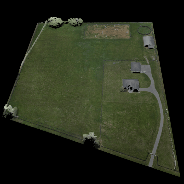
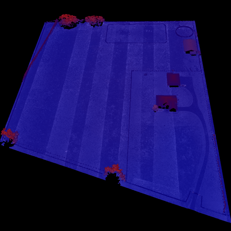
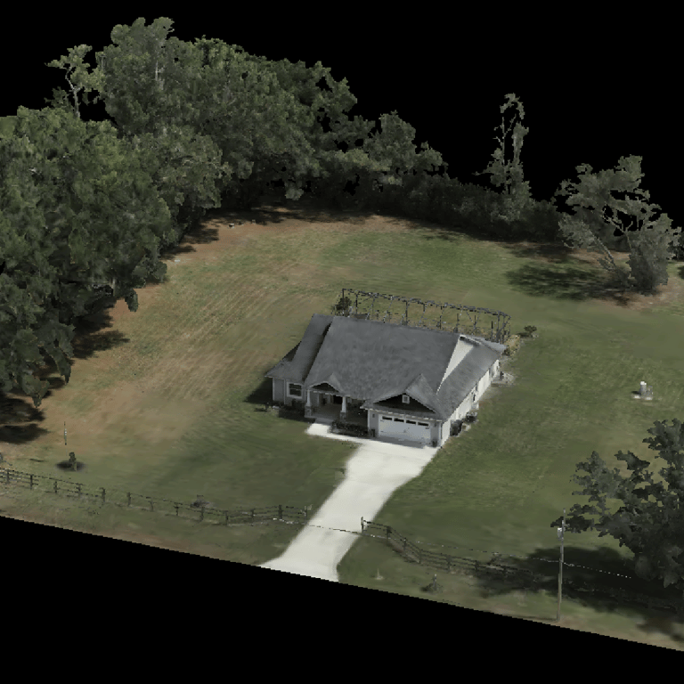
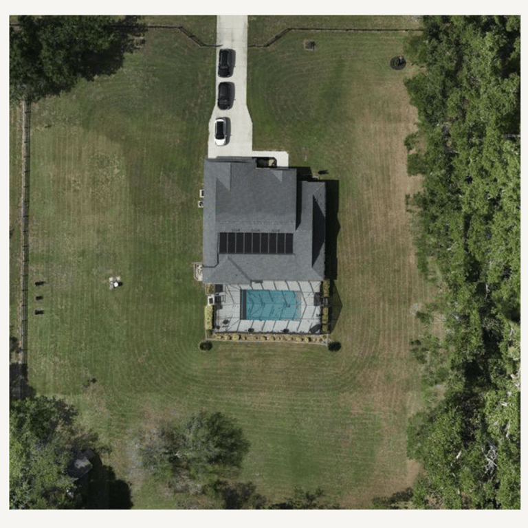
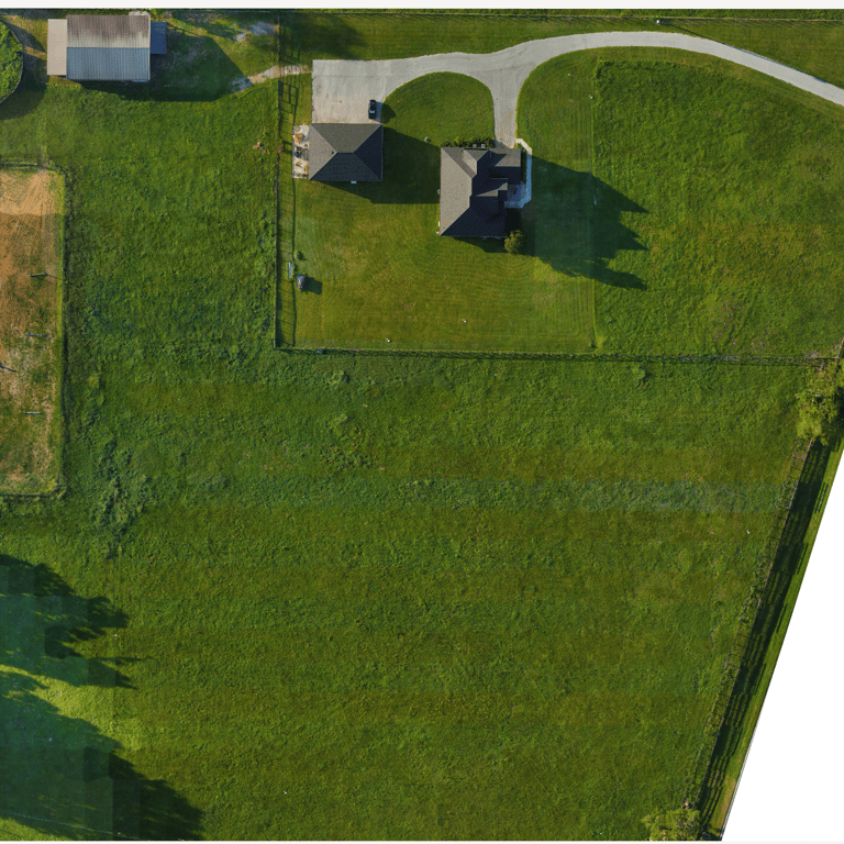
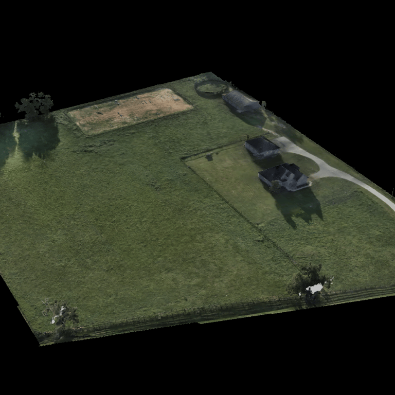
AIROFAST offers high-resolution 2D and 3D maps and models using both photogrammetry and LiDAR. We produce very accurate orthomosaic maps, 3D mesh models, and detailed point clouds.
High-Resolution 2D and 3D Mapping and Modeling
AIROFAST's advanced aerial mapping service delivers highly accurate 2D and 3D geospatial data using a combination of photogrammetry and LiDAR technologies. Leveraging high-end drones equipped with professional-grade sensors, we produce ultra-precise orthomosaic maps, photorealistic 3D mesh models, and dense LiDAR point clouds.
To ensure very accurate results, we integrate ground control points (GCPs), high-quality base stations, and RTK (Real-Time Kinematic) positioning via rovers and GNSS receivers. Our deliverables include high-resolution 2D JPEG orthomosaics, interactive 3D models accessible through a secure online viewer, and LiDAR point cloud files in industry-standard formats. This service is ideal for applications requiring detailed spatial data such as construction, engineering, land development, environmental analysis, and asset inspection.
Gallery